You’ll get a high‑resolution chartplotter/sonar that balances crisp mapping, CHIRP and real‑time imaging, and flexible transducer support across 10", 12", and 16" EchoMAP Ultra 2 models. The bright displays stay visible in daylight, the quick‑release mount and included power/data cable simplify install, and GT56UHD‑TM compatibility plus adapters keep your options open. It’s aimed at serious anglers who want precise structure and waypoint control, and if you keep going you’ll find full setup, performance, and buying guidance.
Some Key Takeaways
- Available in 10", 12", and 16" screens to fit small boats, dayboats, and dashboards needing large split-screen views.
- High-resolution mapping and real-time sonar (GT56UHD-TM compatible) deliver precise structure, contour, and target detail.
- Bright, daylight-readable display with quick-release bail mount and included power/data cable for straightforward installation.
- Customizable layers, adjustable sonar cones, recording/logging, and reliable GPS plotting support advanced route planning and fishing.
- Mid-to-high price point aimed at anglers wanting modular transducer options; budget alternatives exist for cost-sensitive buyers.
What the EchoMAP Ultra 2 Is and Which Model Fits You
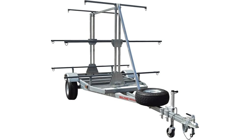
While you're choosing a marine chartplotter/fishfinder, the Garmin ECHOMAP Ultra 2 line gives you high-resolution mapping and sonar options in three screen sizes: 10-inch (106sv), 12-inch (126sv), and 16-inch (166sv). You’ll assess model comparisons by matching vessel space, cockpit sightlines, and chart detail needs. The 106sv fits smaller boats and tighter dash layouts; the 126sv balances visibility and fit for dayboats; the 166sv prioritizes expansive mapping and split-screen workflows. Size recommendations hinge on mounting area, viewing distance, and your desire for autonomy on the water. Documentation and included hardware simplify setup. For kayakers and new paddlers, consider accessory compatibility with portable marine GPS when choosing your model.
Key Hardware and Connectivity: Display, Transducer Options, and Mounting
Now that you've matched a model to your boat and viewing needs, look at the hardware and connectivity that make the EchoMAP Ultra 2 function on the water. You get a High brightness display across sizes for clear daylight visibility and crisp menus. Power and data cable are included; installation stays straightforward. Choose GT56UHD-TM as an optional transducer or use the 8-pin to 12-pin adapter if your wiring differs. The bail mount pairs with a Quick release mounting cradle for fast removal and secure seating. Protective sun cover and documentation arrive in the box, keeping setup and maintenance simple. Essential GPS backup batteries are useful to carry as spares for longer trips and emergencies, especially for kayakers and beginners.
Mapping, Sonar, and Navigation Performance in Real-World Use
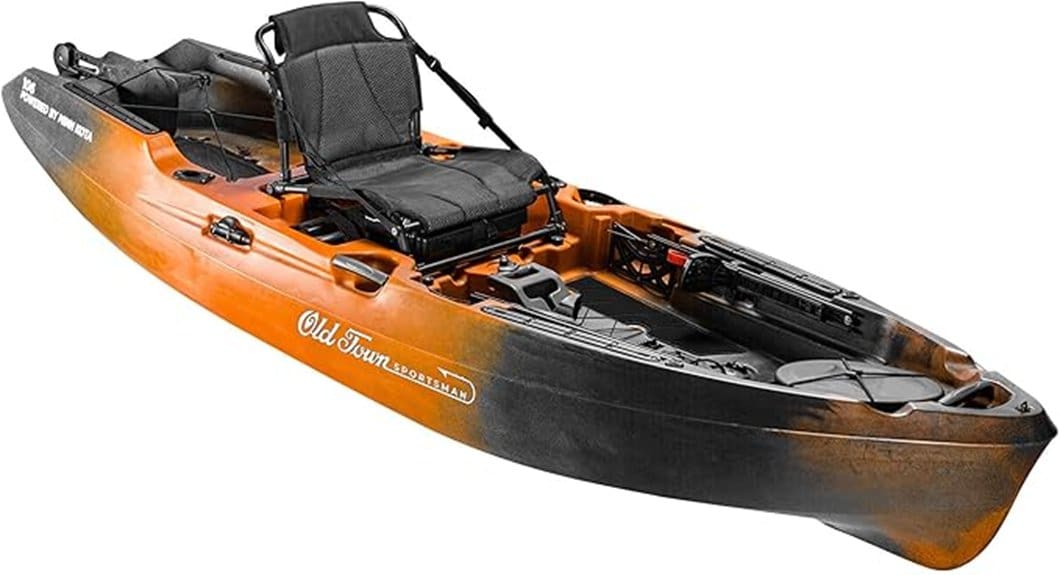
Because the EchoMAP Ultra 2 blends advanced mapping with high-resolution sonar, you'll get immediate, actionable detail for route planning and fishfinding. In practice, high resolution mapping paints structure and contours precisely, letting you hold lines and mark waypoints with confidence. Real time imaging shows targets and bait movement clearly as you pass, reducing guesswork. Chart plotting stays crisp at speed, and GPS fixes remain reliable for boundary runs or offshore navigation. You can customize layers, adjust sonar cones, and record logs for later analysis. The unit lets you explore freely while keeping situational awareness tight and dependable. It's an excellent choice for kayakers looking to integrate dedicated chart plotter gear into their setup.
Setup, Power, Accessories, and What's Included Out of the Box
Get the EchoMAP Ultra 2 running by confirming the included power/data cable and bail mount with quick‑release cradle are in good condition, then route the cable to your boat's power source and secure the unit to the mount. Inspect box contents: unit, power/data cable, bail mount, hardware, protective sun cover, documentation, and transducer adapter notes. Check cable lengths against your install to avoid splices. Connect power, verify firmware via startup prompts, and test display and port access. Store documentation and spare hardware for quick field repairs. You'll appreciate straightforward setup that keeps you untethered on the water. Many kayakers find pairing a reliable solar charger helpful for extended trips.
Who Should Buy the EchoMAP Ultra 2 : Value, Alternatives, and Final Verdict
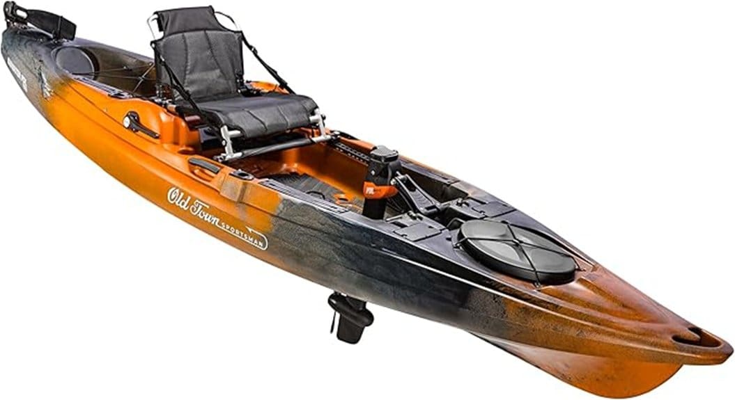
With the unit powered up and basic installation verified, you can evaluate whether the EchoMAP Ultra 2 fits your needs. If you value high-resolution mapping, optional GT56UHD-TM compatibility, and modular transducer adapters, it's aimed at anglers who want performance and autonomy. It isn't the cheapest — consider budget alternatives if cost constrains you — but Garmin's documentation, included cables, and protective accessories plus prospects for long term support justify the investment for committed users. Choose the 106sv, 126sv, or 166sv by screen size and boat space. If you prioritize freedom and durability, this unit delivers. For paddlers and kayak anglers, pairing the EchoMAP Ultra 2 with a reliable GPS speed tracker helps improve navigation and trip logging.
Some Questions Answered
Does It Support Dual-Network Radar Integration?
No — it doesn’t support dual-network radar integration. You’ll pair a single radar via radar pairing and rely on the unit’s onboard signal processing for target overlay and clutter rejection. You can connect one compatible radar sensor and the chartplotter will process incoming echoes, but it won’t aggregate two simultaneous radar networks. That limits redundancy, though the device still gives clear, actionable radar returns for independent navigation freedom.
Can I Connect to NMEA 2000 Autopilots?
Yes — you can connect to NMEA 2000 autopilots. You’ll integrate the chartplotter onto the vessel’s network, enabling autopilot compatibility and NMEA routing for course and waypoint transfer. Use the device’s NMEA 2000 backbone to share heading, position, and route data; confirm your autopilot accepts standard PGNs. You’ll need proper cabling, network termination, and verification in setup menus to make certain reliable control and seamless routing between systems.
Is Wireless Firmware Updating Available?
Yes — you can receive wireless updates. You’ll use Wi‑Fi or Bluetooth to get wireless updates and over the air patches when Garmin releases them. You’ll connect the unit to your network, check for firmware in settings, and initiate the download; the device applies patches and reboots as needed. You’ll still have the option to update via SD card or Garmin Express if you prefer local control or offline installation.
What Warranty Length and Coverage Apply?
You get a standard warranty that covers defects in materials and workmanship for one year; it applies to the unit, cables, mounts and included accessories. You can purchase extended protection for longer-term coverage and accidental-damage options through Garmin or authorized dealers. Keep receipts and register the product to simplify claims. You'll need to follow service procedures and exclusions listed in the manual; warranties won't cover misuse, installed third-party transducers, or normal wear.
Are Split-Screen Custom Layouts User-Saveable?
Yes — you can save split-screen custom layouts. You’ll create layouts combining charting, sonar, and maps, then store them as named custom layouts for quick recall. You’ll access layout presets from the display settings, modify panes, and save changes; user saving preserves pane types, sizes, and data sources. This gives you freedom to switch configurations mid-trip, streamline workflows, and reuse preferred multi-panel setups across sessions.